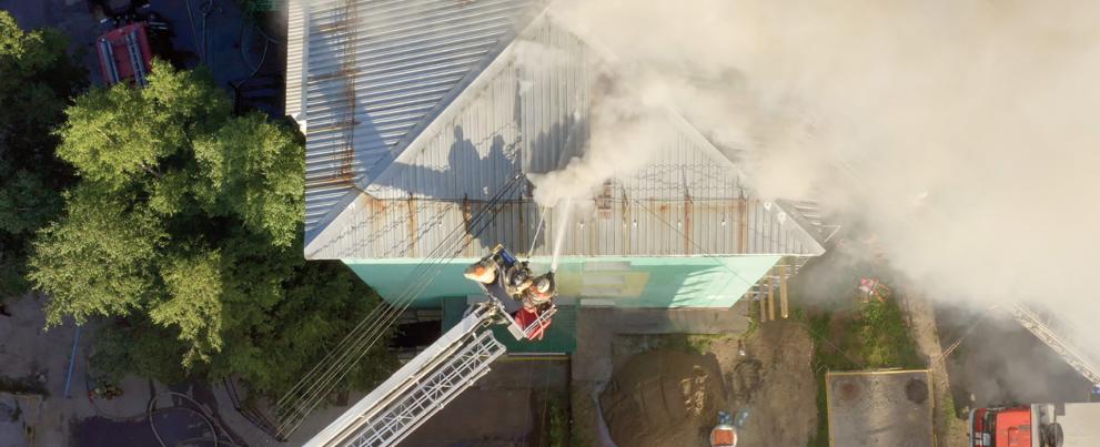
1. Real-time tracking of responders
The ability to know the location of responders and their proximity to threats and hazards in real time

CAPABILITY GAP 1: “THE ABILITY TO KNOW THE LOCATION OF RESPONDERS AND THEIR PROXIMITY TO RISKS AND HAZARDS IN REAL TIME”
The ability to geolocate first responders in all environments, especially when coupled with simultaneous awareness of incident risks and hazards and responder distress, could significantly improve the safety, efficiency, and effectiveness of response operations.
Addressing this capability gap involves the development of tools that capture the precise location of responders (i.e., x, y, and z coordinates) indoors, outdoors, and below ground, and the graphical display of that location on an intuitive user interface. It further involves the display of threats and hazards in proximity to on scene responders when integrated with sensors and other detection systems.

TARGET OBJECTIVES AND POTENTIAL SOLUTIONS
The target objectives for this gap are:
- Accurate, real-time three-dimensional location of first responders on the incident scene
- Graphical display of first responder location and tracking information on an incident- specific geospatial map
- Integration of geolocation data with situational awareness systems and other data sources
Potential solutions should:
- Provide accurate geolocation of responders in three dimensions
- Provide real-time and recurring transmission of responder location and tracking at all times
- Provide a graphic display of the location of selected responders on the incident scene
- Integrate with existing and future emergency response software systems and applications
- Be designed to minimize equipment burdens for the responder, while maintaining interoperability of components
- Generate an alert based on agency-configured thresholds or parameters
- Use a non-proprietary power source that provides sufficient power for an operational period
- Be easy to operate, calibrate, and maintain throughout the service life
- Operate within multiple environments (e.g., smoke, humidity, temperature extremes, precipitation)
- Be designed to minimize price of system, consumables, and maintenance

CAPABILITY
A robust and flexible capability is needed to help commanders and tactical decision makers accurately locate and track first responders anywhere on the incident scene. This capability is also necessary to allow them to rapidly and effectively direct rescue missions for at-risk personnel, as well as understand and respond to the consequences of potential threats to responders in real time.
Further detail can be found in the Gap 1 Statement of Objectives document.
